Our Mission
Facilitating the teaching
and learning of geography
Our Mission
Facilitating the teaching
and learning of geography
Our History
We combine cartography with the latest technologies
was born with a simple and complex idea at the same time…
To transfer the information from traditional physical and political maps to a digital and interactive format.
Geointeractiva is a digital cartography publisher whose content has been created to facilitate the teaching and learning of geography, from its most basic concepts to the complexity of economic and social geography.
Geointeractiva (2012) was born from the synergy of Edigol Ediciones’ (1976) experience in its long trajectory of school map and educational charts publications.
From the generation of maps created with Adobe Flash, already in 2010, to the beginning of programming with HTML, Geointeractiva has been growing as a native digital resource, adapting to the new technological advances in education in today’s society.
The project was born with a simple yet complex idea of digitizing the information contained in traditional physical and political maps in printed format to a digital and interactive context. The project’s purpose was clear: to make digital interaction between information and the user a reality and to surpass the traditional method of transmitting learning.
With this idea, and with the didactic and cartographic base supported by Edigol Ediciones, a publisher of didactic and school material with more than forty years of experience in the sector, and whose baggage comprises more than a thousand maps in multiple contents, dimensions, presentations, and more than a dozen languages, Geointeractiva was created.
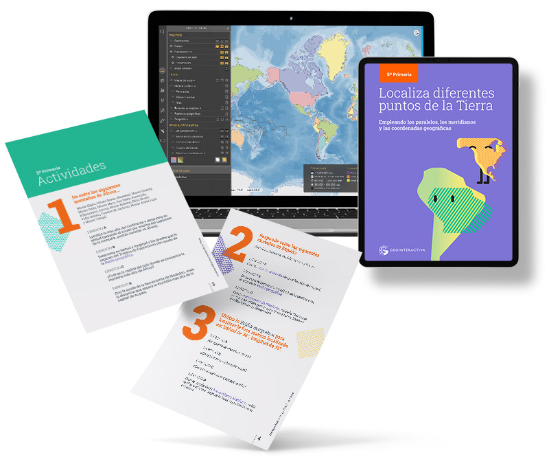
Interactive maps, our digital product
A bridge between education and entertainment

Active and participatory methodology
Geointeractiva’s interactive maps are today an application that has surpassed the traditional learning method and proposes an active and participatory methodology, in which the transmission of information is no longer unidirectional via teacher-student.
Satisfactory learning
Now, the interactive process is much more complete and therefore more satisfying and enriching for its participants, teachers, and students. The technological medium that Geointeractiva represents facilitates communication between the teacher and students, and between them and the knowledge of the social and natural environment.
Innovative tool
Geointeractiva is an innovative tool whose objective is to improve conventional methodology. It aims to be a bridge between education and entertainment. To achieve this, it is essential that students and group participatory work are the central axis of the learning methodology. In this way, the processes that allow for the acquisition of knowledge are optimized through intragroup communication and the protagonism and participation of each student.
Our interactive maps encourage active participation in learning processes and facilitate the practical application of what is learned.
Departments and teams
Cartography
We create the maps that form the cartographic base of Geointeractiva, based on the didactic needs detected through the study of the school curriculum of different educational levels in different countries. We actively work on the research and innovation of the didactic proposal.
Software and development
In constant coordination with the cartography department, we design, program, and implement the necessary solutions to improve the application and presentation of didactic content, as well as the way the user interacts with them.
Marketing and product
We are in charge of distributing the product, adapting it to the particular situation of each client, offering the plan that best suits them.
International markets
We work to reach commercial agreements with public and private educational sectors, promoting investment and product improvement with the creation of maps adapted to their curricular needs. We also bet on the integration of Geointeractiva into national and international educational platforms.
General direction
We act to make the most of Geointeractiva’s resources and distribute them efficiently, thus achieving business objectives through the coordination of all departments.