High school (+16 years old)
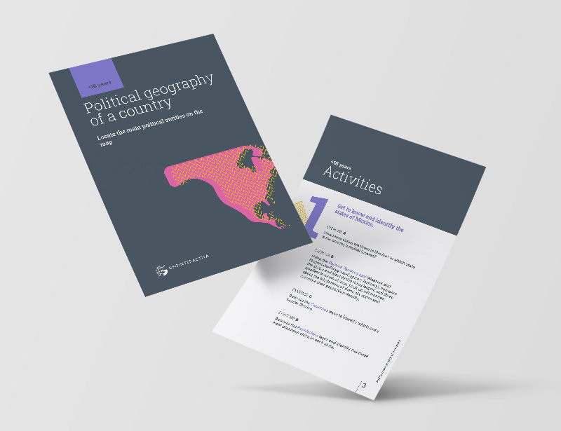
Political geography of a country
Do you want your classes to be stimulating? Start today with Geointeractiva.
We propose you to teach geography in a fun way
What will your students learn with this educational activity?
The political geography of a country is an important topic in school geography education, as it allows us to understand how a country is organized and administered. In this article, we will focus on the importance of knowing the main political units of a country and how they are organized.
Territorial and Political Division of a Country
Each country has its own territorial and political division, which may vary depending on the history, culture, and geographic characteristics of each place. Most countries are divided into states, regions, provinces, departments, districts, or autonomous communities. These political units are usually formed by one or several cities and/or regions, and have a capital that is the seat of the local government.
It is important to know these political units as they allow us to have a clearer vision of the territorial organization of the country, its government, and its administration. Additionally, it helps us to geographically situate ourselves and understand the different regions and cultures that make up the country.
Another important aspect to consider is that the territorial and political division of a country can change over time, due to various factors such as migration, demographic growth, or even political factors. Therefore, it is essential to be updated on the political organization of a country and its different units.
Examples of Political Units in Some Countries
In Spain, for example, it is important to know the autonomous communities and their capitals, as well as the provinces and their capitals. Spain is divided into 17 autonomous communities, each with its own government and administration. Some of these autonomous communities also have regions and provinces, making the territorial division more complex. Knowing where each autonomous community and province is located on the map of Spain is essential to understand the territorial organization of the country.
In the United States, it is important to know the states and their capitals. The United States is divided into 50 states, each with its own government and administration. Each state has its own capital, which is the seat of the state government. Knowing where each state and its capital is located on the map of the United States is crucial to understanding the territorial organization of the country.
In Mexico, it is important to know the states and their capitals, as well as the geographic regions of the country. Mexico is divided into 32 states, each with its own government and administration. Mexico also has several geographic regions, such as the Yucatan Peninsula, the Sierra Madre Occidental, and the Sierra Madre Oriental. Understanding these regions and their geographic location is essential to understanding the geography of Mexico.
In Argentina, it is important to know the provinces and their capitals, as well as the geographic regions of the country. Argentina is divided into 23 provinces and the Autonomous City of Buenos Aires, each with its own government and administration. Argentina also has several geographic regions, such as Patagonia, La Pampa, and the Andes Mountains. Understanding these regions and their geographic location is fundamental to understanding the geography of Argentina.
In summary, the political geography of a country is essential to understanding the territorial, governmental, and administrative organization of a place. Knowing the political units of a country, such as autonomous communities, states, or provinces, helps us geographically situate ourselves and understand the different cultures and regions that make up the country. Each country has its own territorial and political division, so it is important to investigate and know the structure of each one of them.