
Cartography, in interactive vector form
Interactive maps and digital tools for exploring and interpreting the territory in geography lessons, with open-source vector cartography.


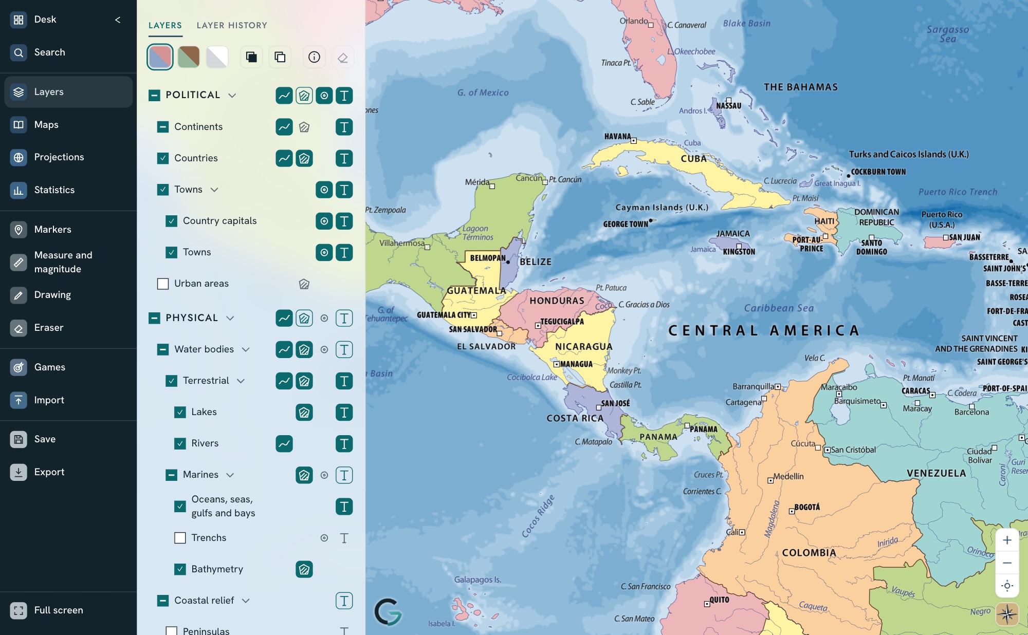
01 / 11 Political countries in colour, with names
How a map is built
Like overhead-projector transparencies: stacked layers, and a style that sets colours, line weights and what appears at each zoom level.
- 04
Place names
Each name knows where it is written, in which language and from which zoom level.
- 03
Thematic layers
Tectonic plates, time zones or meridians and parallels, turned on and off.
- 02
Vector drawing
Countries, coastlines, rivers and lakes, stored as coordinates: they can be coloured, highlighted and respond when touched.
- 01
Relief
Mountains and sea floors, as an image: the base everything is drawn on.
Tools
Search
Any place, by its name or by latitude and longitude.
Locate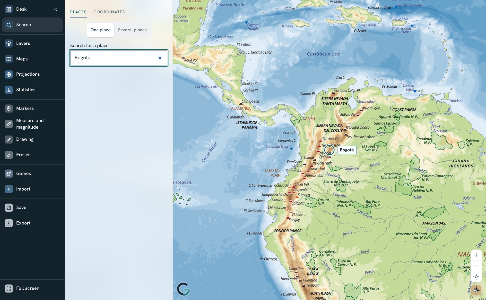
Layers
Each part of the map can be turned on or off separately: relief, borders, rivers, names or time zones.
Compare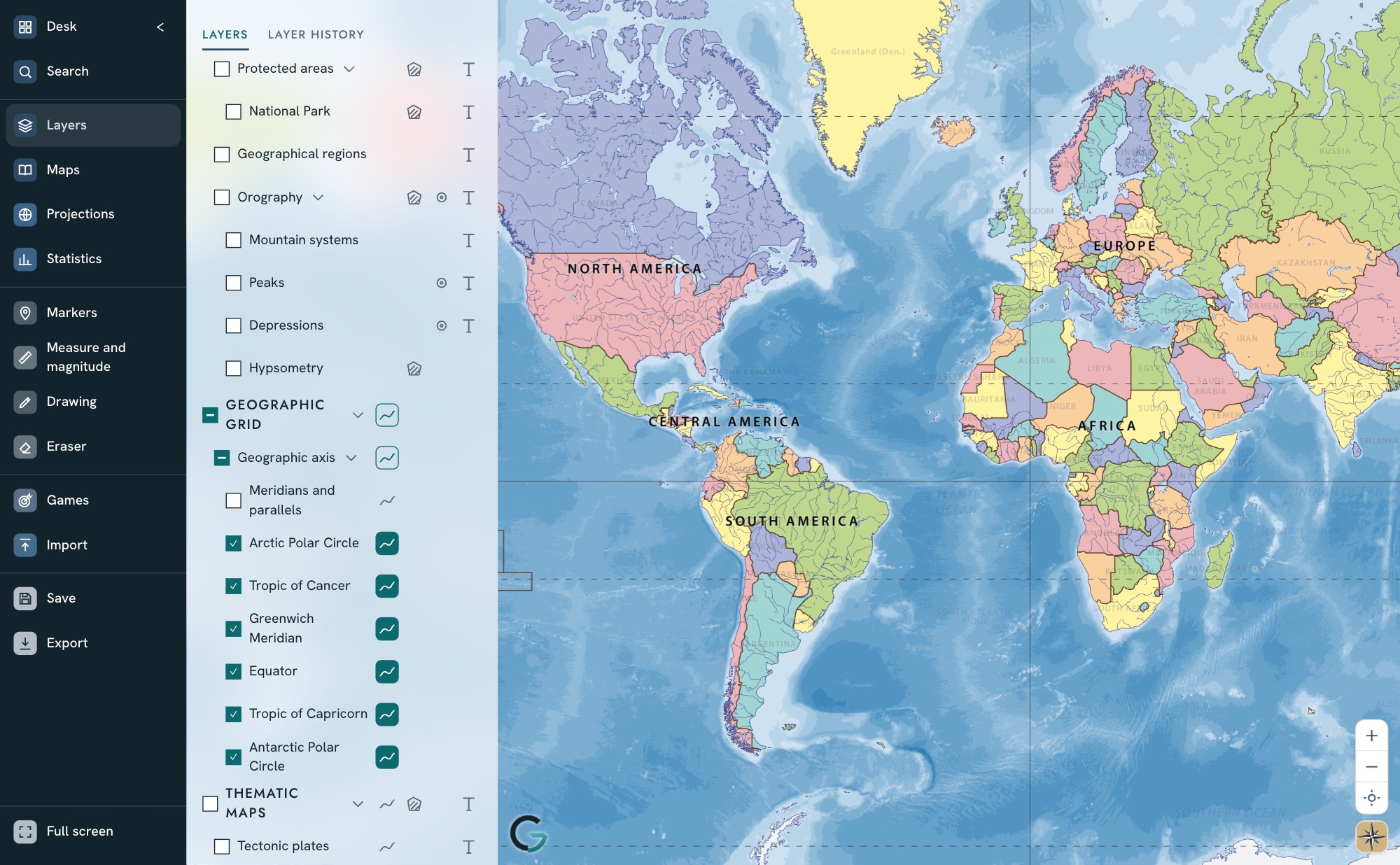
Projections
Flat map, globe and other world map projections, to see how much each one distorts.
Compare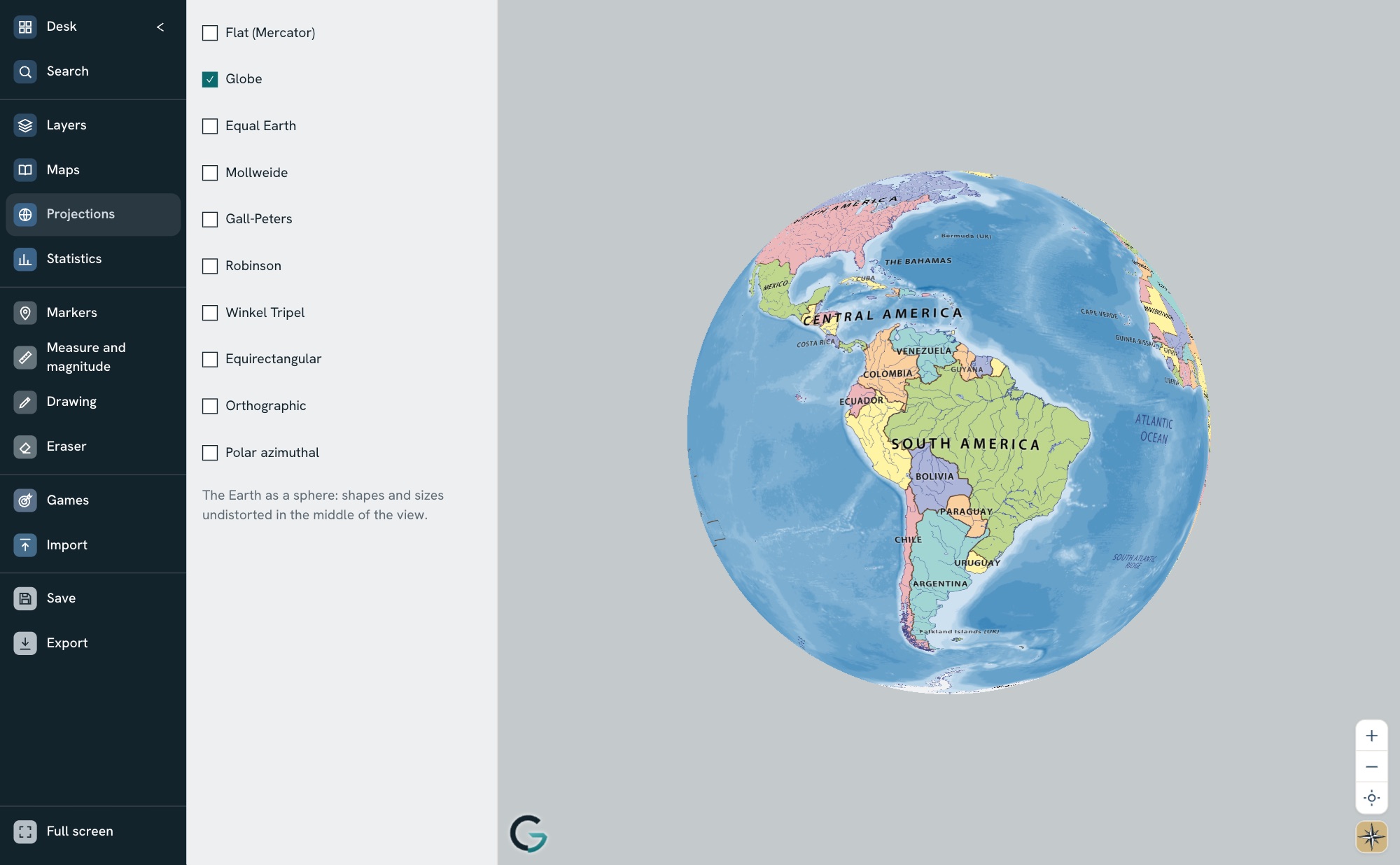
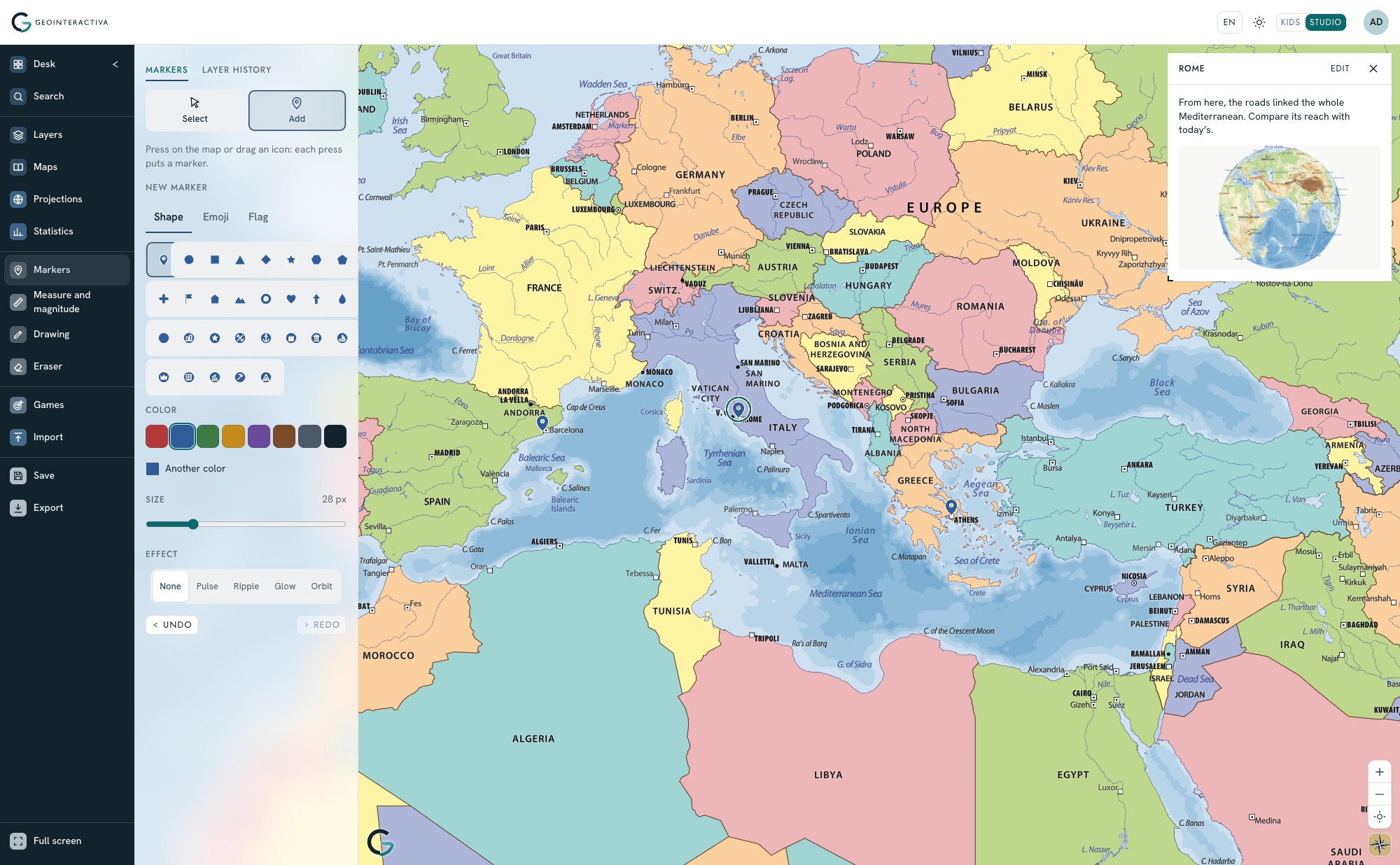
Markers and media
Points with coordinates that hold text, images or media, sorted into categories.
Locate · Tell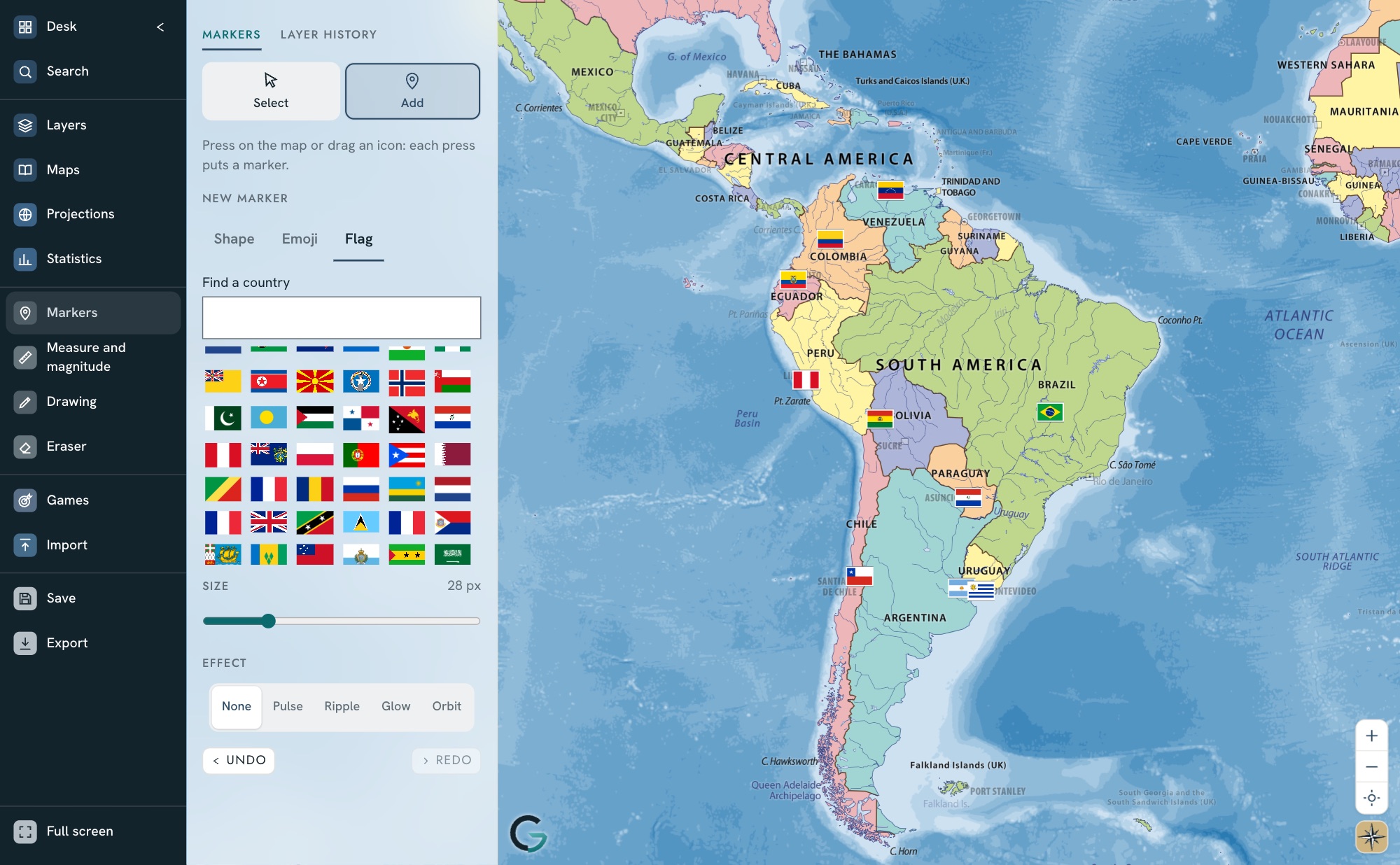
Measuring
Distances and areas anywhere.
Measure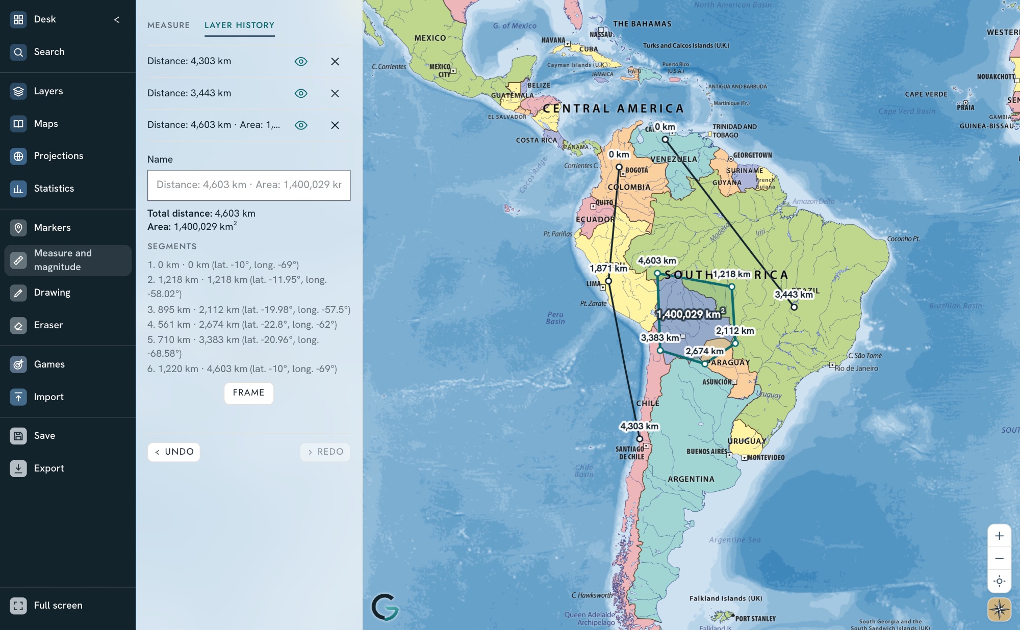
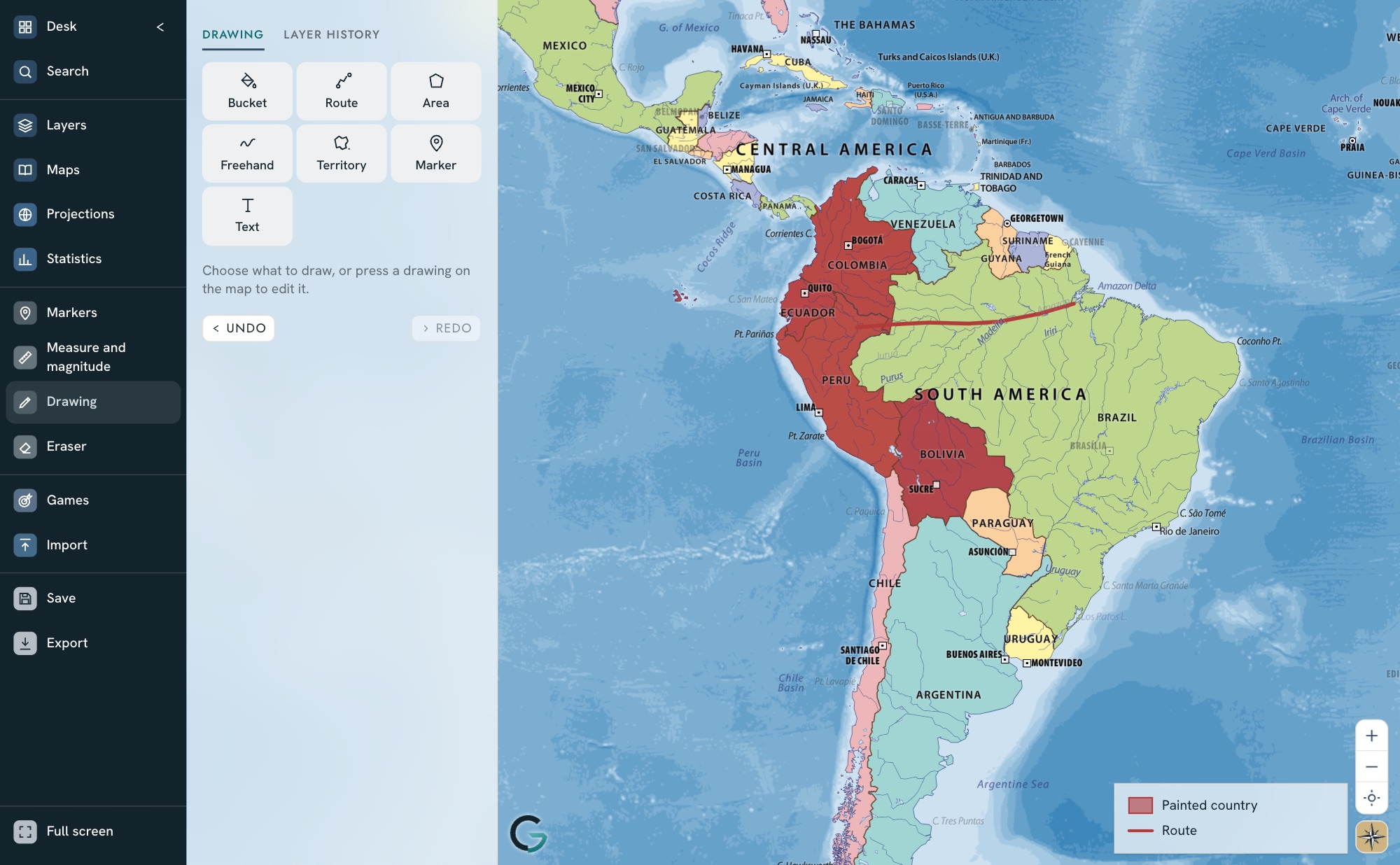
Vector and editable
Sharp cartography at any scale, editable in class with nothing to install: PC, Mac or interactive whiteboard.
Maps to work with in the classroom
Prepare, share and follow each activity.
Prepare
Markers with text, images, linked video, emojis or shapes, drawings and measurements: the lesson, ready on the map.
Share
Teachers invite the group by email or create its accounts, and share the map.
Assign
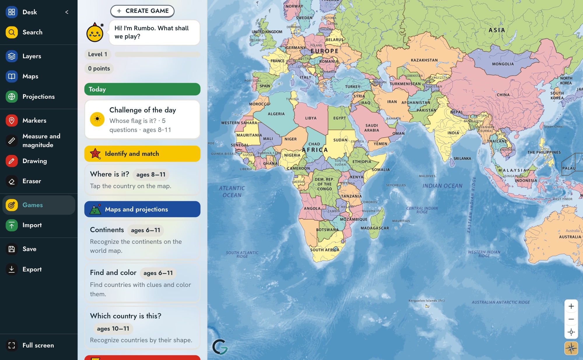
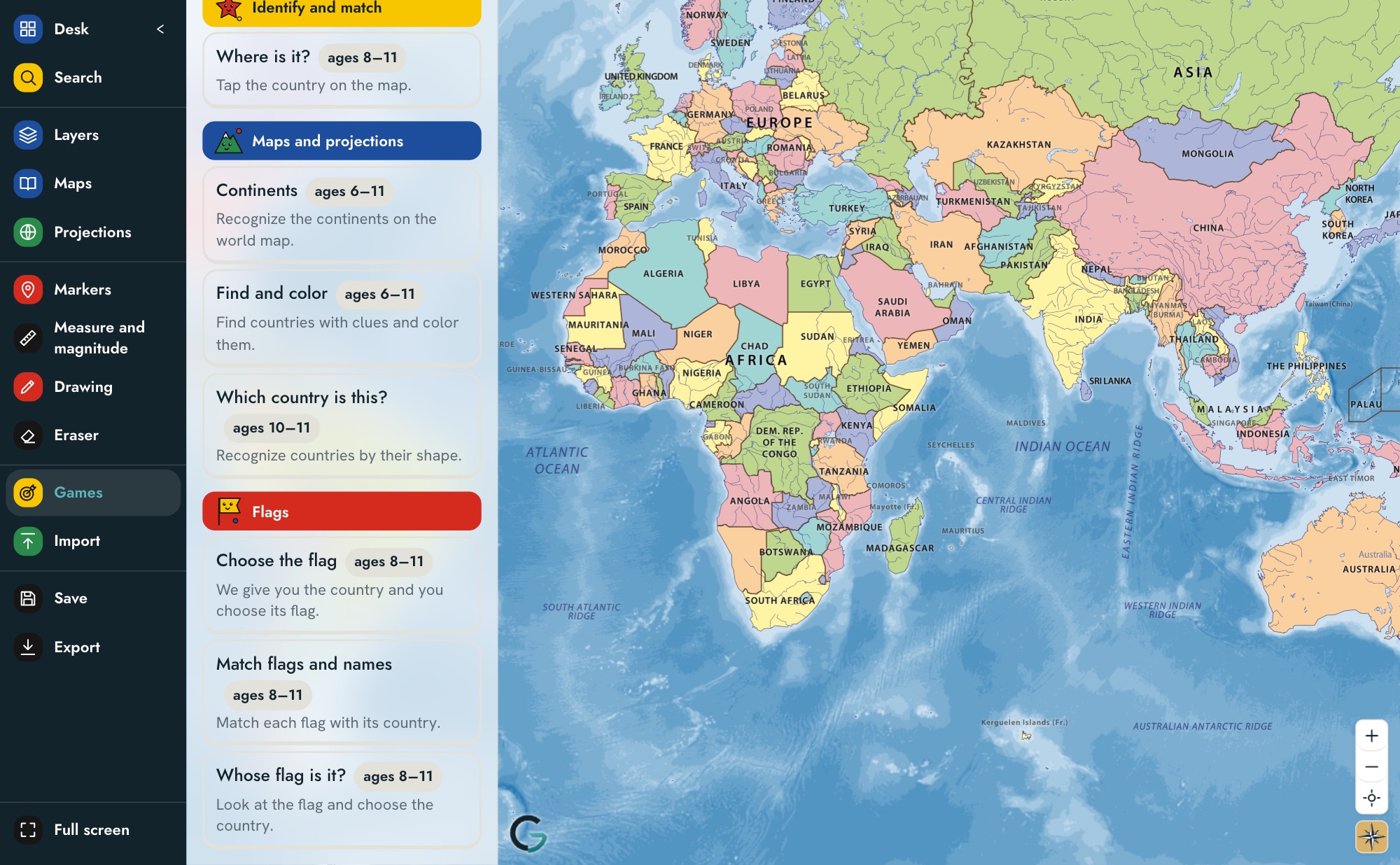
Games and activities for each group, matched to its age.
Review
Student results, in the same menu.

Discover the world with games, colors and challenges.
Up to 11 years old
Maps, data and tools for in-depth study.
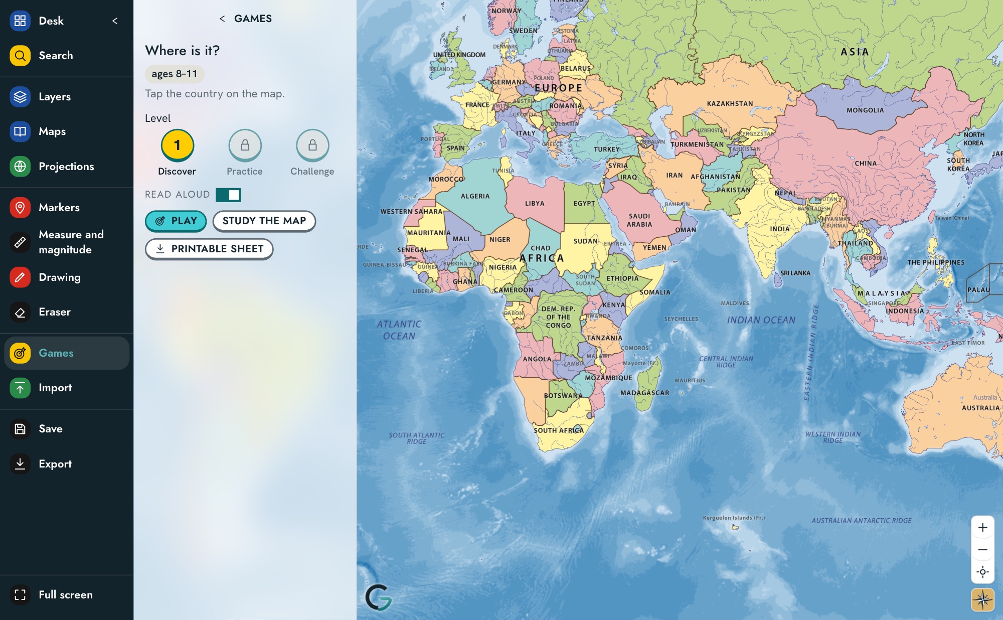
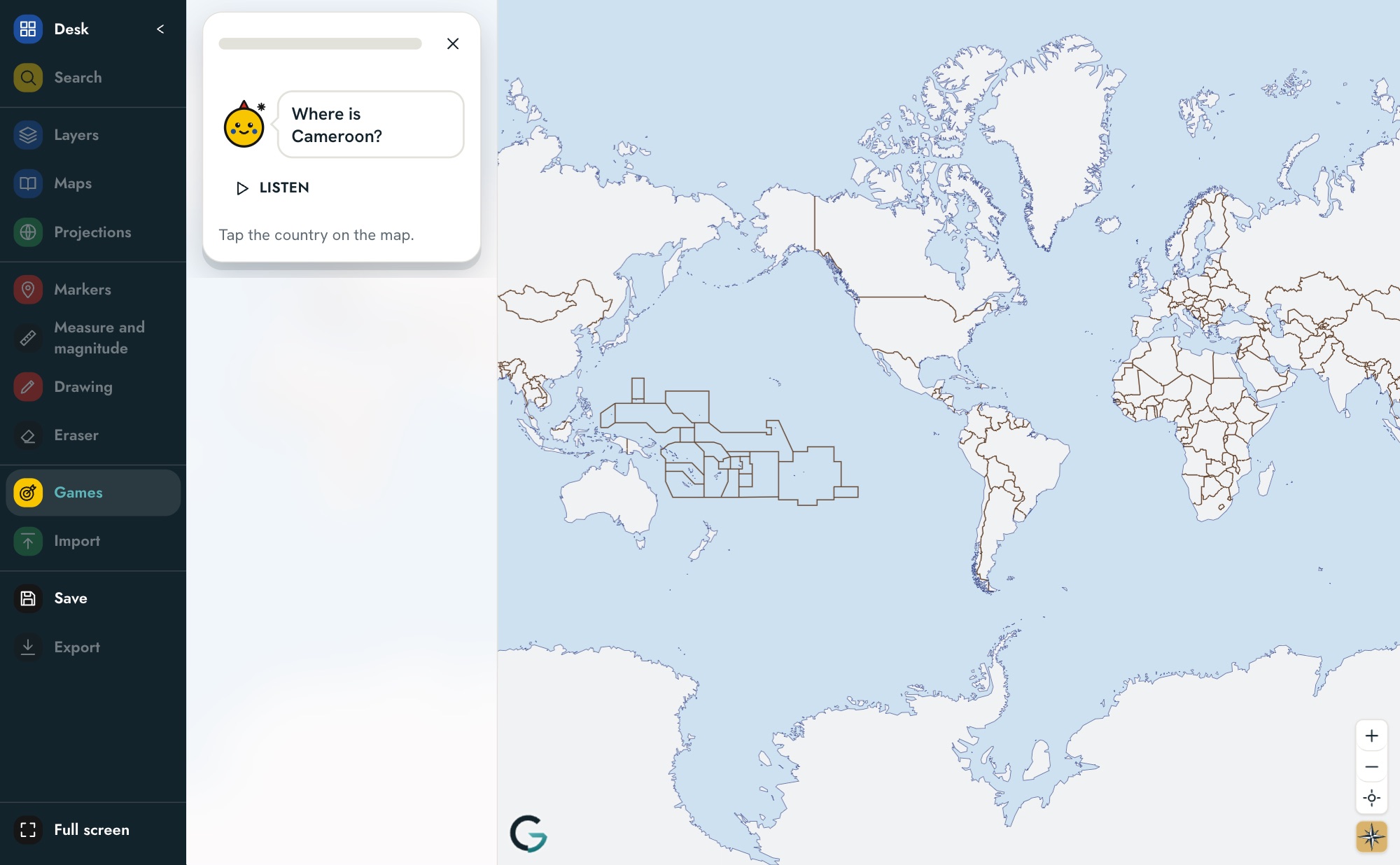
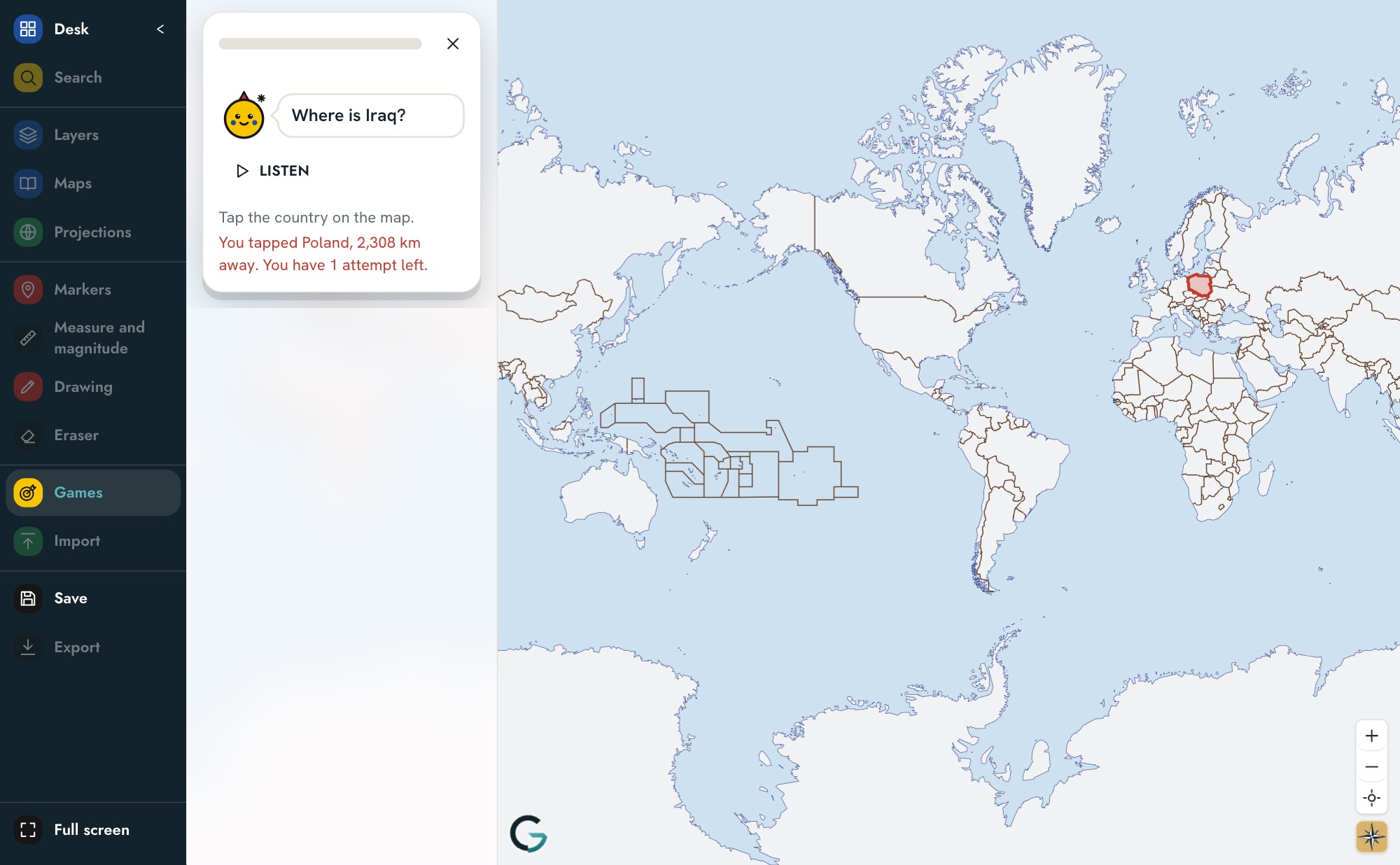
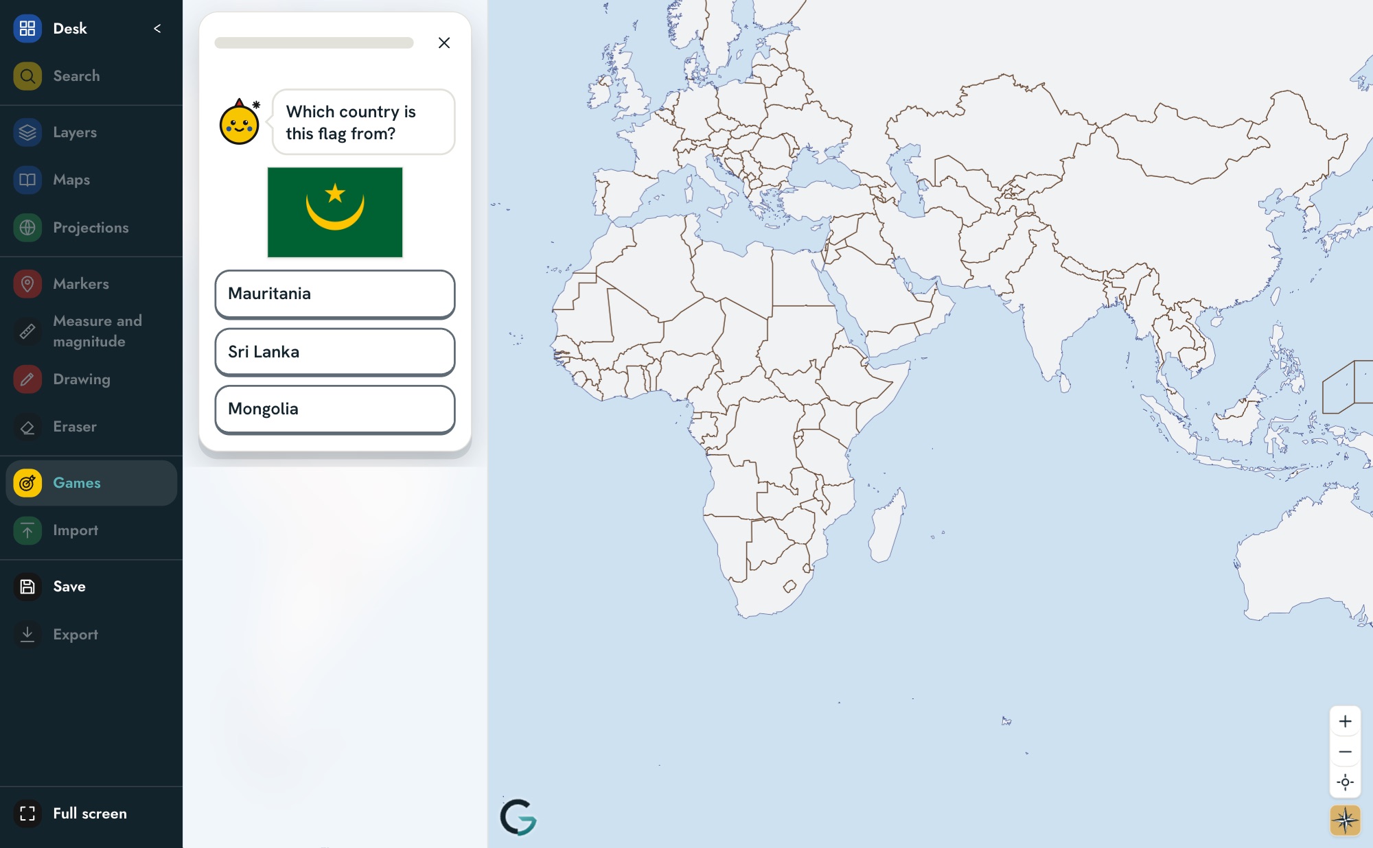
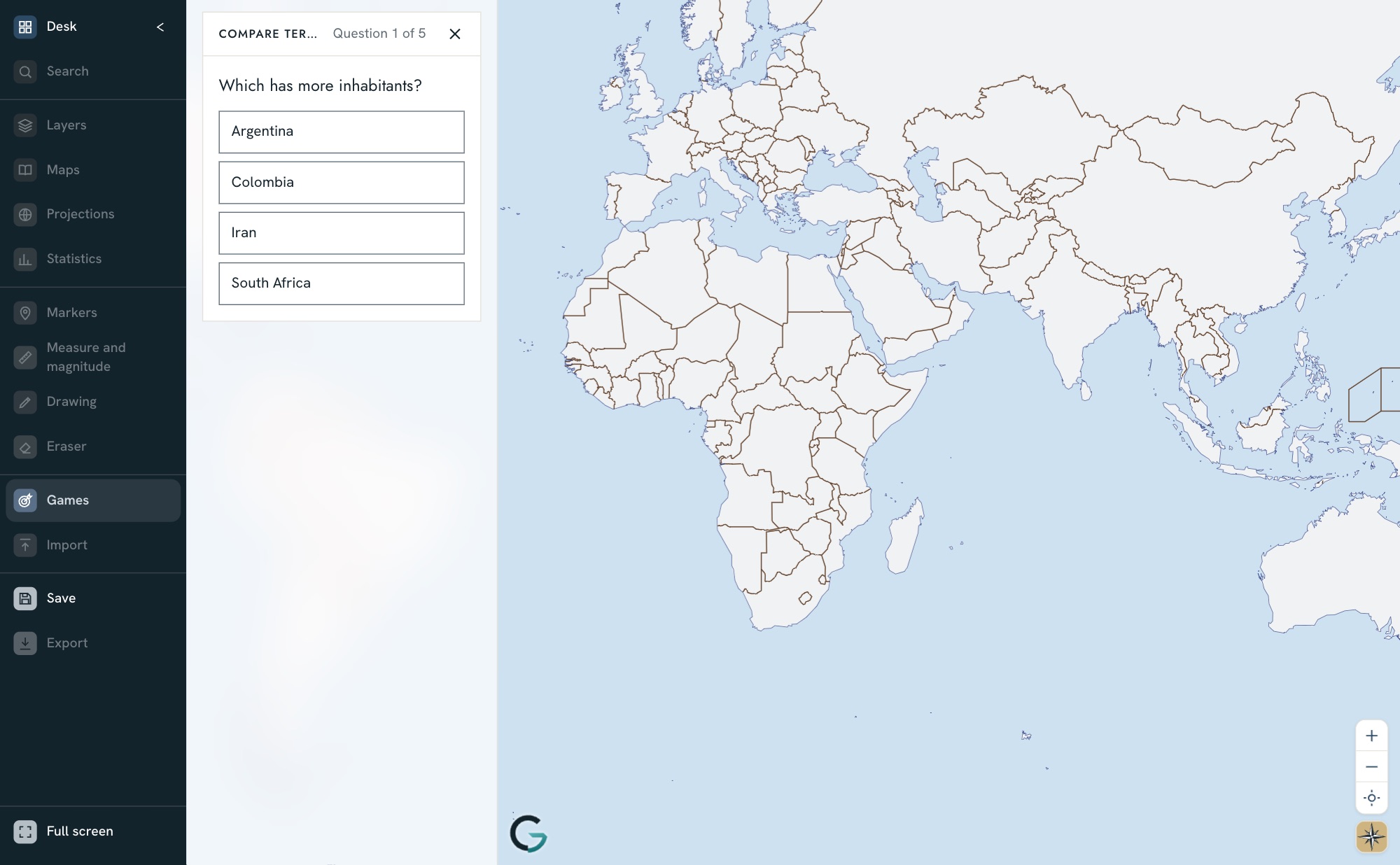
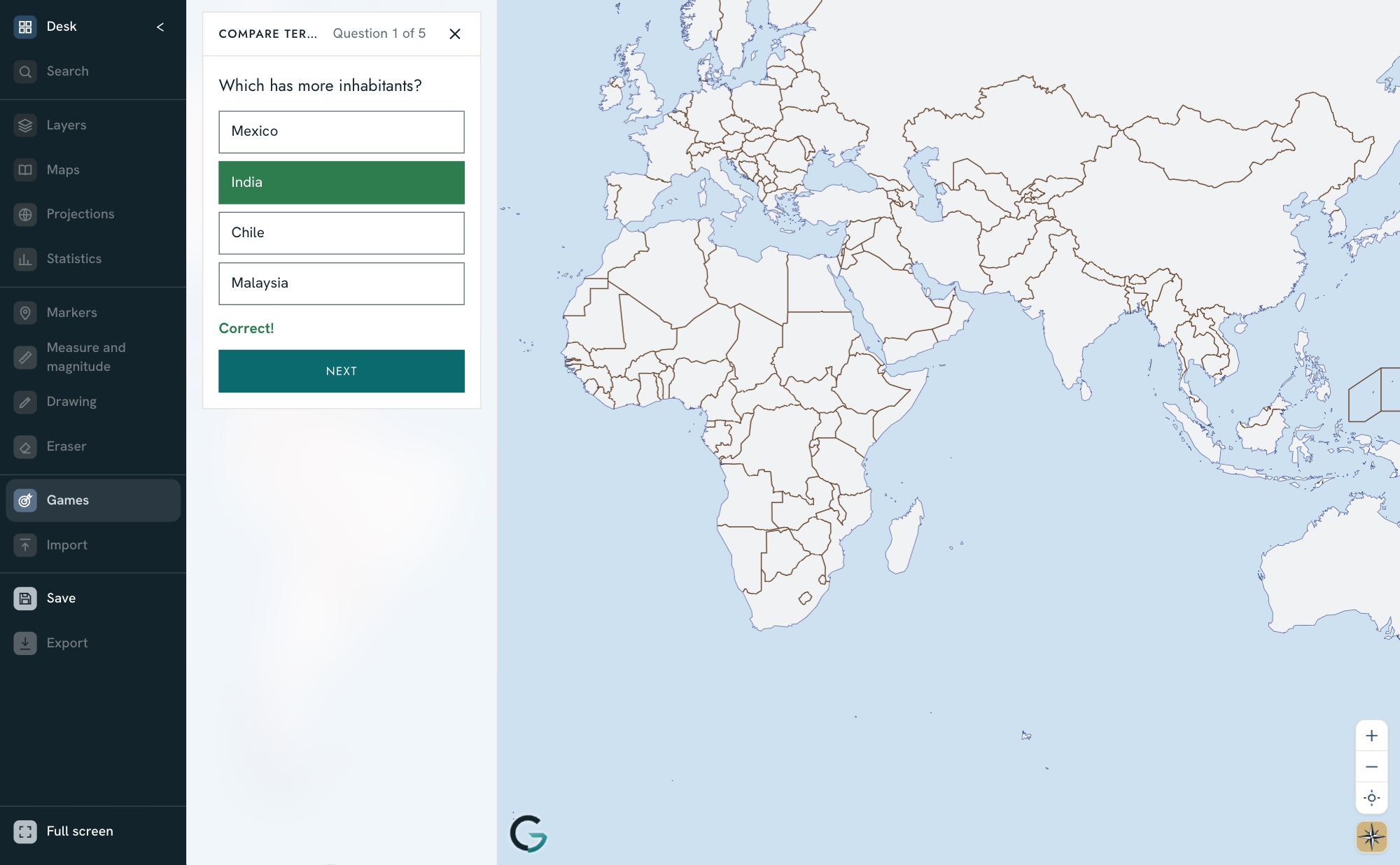
For all levelsGames for locating, naming and matching
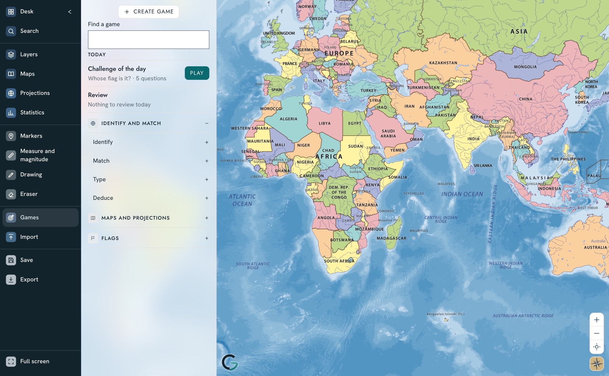
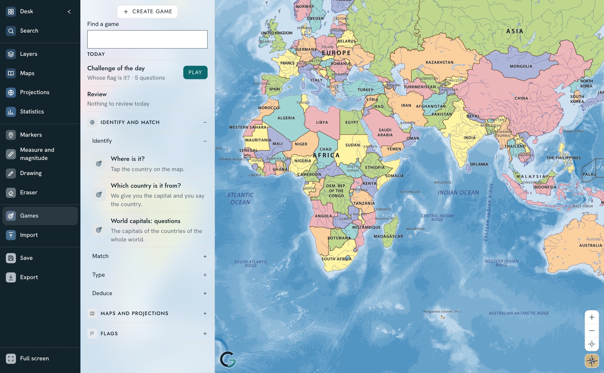
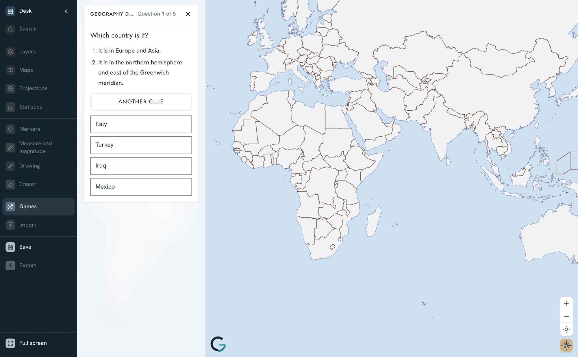
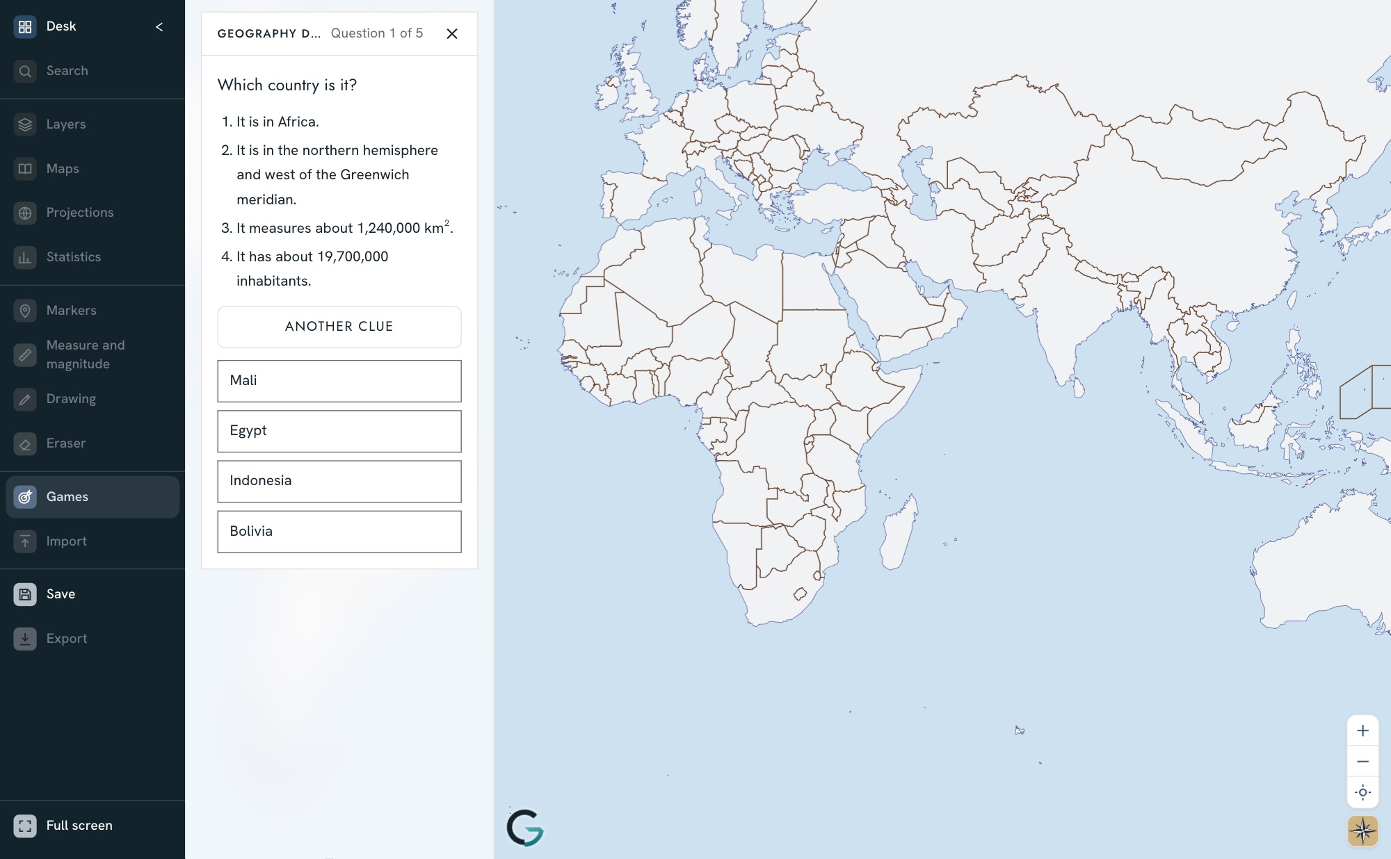
From age 6 to sixth form. Each game covers one topic on the map: countries, capitals, rivers or islands. There are games in both modes: Kids, up to 11 years old, and Studio, for all levels.
Resources for teachers, inside Geointeractiva
Activity worksheets, for ages 6 to +16, included in every subscription as support and examples for the classroom.
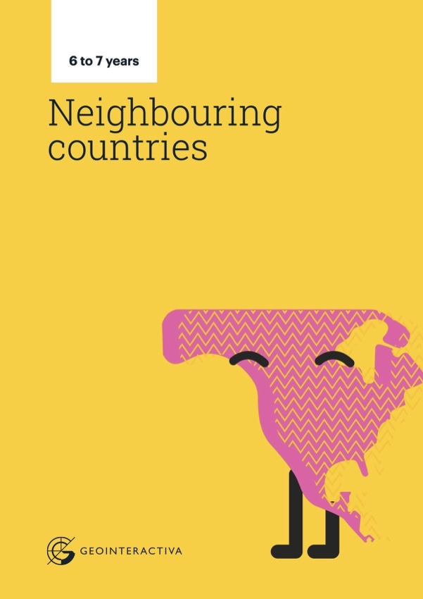 6–7 years · PrimaryNeighbouring countries
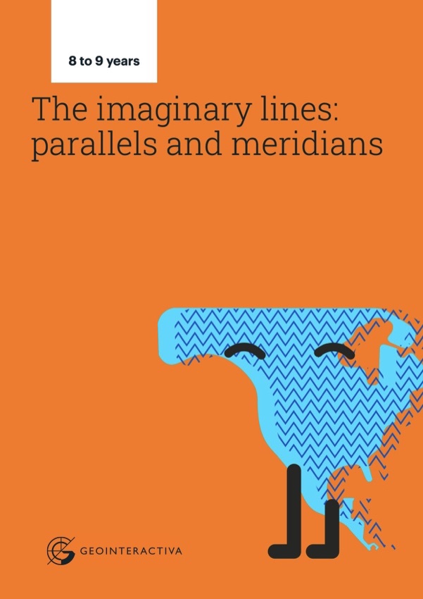 8–9 years · PrimaryParallels and meridians of the Earth
 10–11 years · PrimaryLandforms
 12–13 years · SecondaryWhy time zones matter in geography
 14–15 years · SecondaryPhysical features of the planet
 +16 years · Sixth formPolitical geography of a country
Geointeractiva | Presentation
The platform and the school resources, in one PDF to share.